|
1 |
Create a geoheritage
inventory for the Canary
Islands, following the
methodology of the Spanish
Inventory of Geosites of (IELIG
in Spanish, hereafter),
developed by IGME, that
reflects the singularity of
the volcanic islands. |
|
2 |
Geosite selection of
regional significance,
including data base and
mapping to enhance their
management. |
|
3 |
Generate rigorous
information based on the
knowledge of the Canarian
geoheritage to encourage
educational projects and the
development of a geotourism
of excellence. |
|
4 |
Transfer the scientific
information to the main
stakeholders related to the
natural heritage management,
for local and tourist
sustainable development
(Regional and local
administration, local
development agencies, etc.) |
|
5 |
Outreach to the inhabitants,
visitors, students,
professionals and
technician, particularly.
|
|
|

[+]
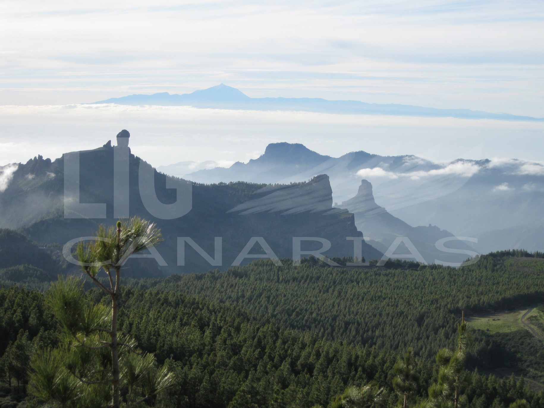
Roque Nublo and Roque Bentayga, Gran Canaria.
In the background the island of Tenerife can be seen culminated by the Teide
|

[+]
Roque de Ojila and Roque de La Zarzita in La Gomera |
|
|

|
IGME
Ríos Rosas, 23
28003 Madrid
Teléfono + 34 913 495 700
|
|

|
|